
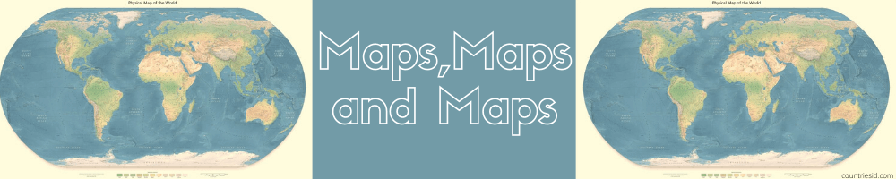
Maps, Maps and Maps
What are maps?
Maps are generally geographical, geopolitical or geological representations of the earth's surface , which try to take note of the most representative, interesting or relevant elements of it, to serve as a document for researchers, explorers, tourists or specialists. Maps are two-dimensional representations of a certain territory, which can have various types of shapes: flat, spherical, etc. They offer relevant information in a set of signs, symbols, drawings and dimensions , depending on the specific focus in question. For example, physical maps have relief indications , while geopolitical maps emphasize capitals, borders, and political-historical relationships. Related to plans, sketches, and other spatial graphical representations, maps serve as a document for studying and understanding the geography of an area. They are also used to locate us from specific references within unknown territory. To do this, the maps obey a set of conventions in terms of scale , limits and highlighted elements , depending on whether it is the map of a city , a cemetery or a subway. The maps are the result of cartography.
History of the maps
The maps are as old as civilization itself. As soon as they emerged, the human being had the need to travel unknown or infrequent territories, either as part of exploration, trade or conquest initiatives . The first maps that are recorded date back to ancient Mesopotamia , made on tablets 5,000 years ago. But the first to be part of a formal cartographic initiative, that is, the first scientific maps, come from classical Greco-Roman antiquity. Thales of Miletus is credited with the first world map , which he conceived of the territories then known as a disk floating in water. And to Ptolemy, centuries later, the first maps that included meridians and parallels , useful for navigation and exploration. Cartography and maps had a real explosion at the end of the Middle Ages and the beginning of the Modern Era, when the great European adventurers and explorers such as Vasco Da Gama or Christopher Columbus set out to cross the seas. This laid the foundations for the expansion of the colonial empires, such as Spain, the United Kingdom, France and Germany, which carried out important cartographic initiatives to be able to know, organize and divide the colonized territories in America, Africa and Asia. This is why in Africa there are countries with completely straight borders, that is, artificially drawn.
What are maps for?
Maps are used to find our location in unknown terrain . Together with a compass, they allow us to trace a navigation route, and depending on the type of map, they also provide us with relevant information about where we are. The pirates used maps to remember where their loot had been buried. Architects and urban planners use them to study the growth of cities and plan urban design. Explorers use them to reach their destination, tourists to orient themselves in unfamiliar cities, and geologists to search for sites underground. There are maps for everything.
Types of maps
Physical maps: They represent the earth's surface, taking into account not only cities and human settlements, but also relief, hydrography and geographic features.
Political maps: They represent the territory of a region, divided according to the current borders of the nations, thus marking the limits between one and the other, specifying the location of their capitals and other data relevant to world organization.
Geological maps: . They show the Earth's crust and make a count of its main deposits, geological substrates and other specialized information.
Hydrological maps: They focus on the representation of rivers, lakes and seas, as well as groundwater deposits in the continental crust.
Urban maps: They are maps of a city or a sector of it, detailing the streets, services, tourist information, etc.
Complete Collection of the maps of the World - Continents and Countries
Copyright Policy: All materials are published with Attribution-Share Alike 3.0 No cover license (CC BY-SA 3.0). Only images from the public domain are used on this website.


